Langlenleisana Drones

Advancing drone services for agriculture and civil projects with cutting-edge research.

Our Services

Precision drone solutions for agriculture and civil projects
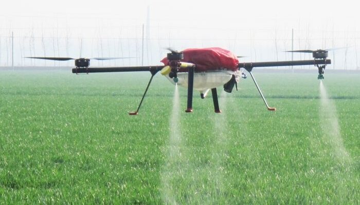
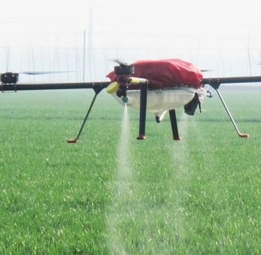
Agriculture

We provide drone surveys to monitor crops and optimize yields efficiently.

Drone flying low over a lush green farm field capturing detailed aerial images.
Civil Services

Supporting construction and infrastructure projects with precise drone data.

Drone surveying a construction site with cranes and workers below.

FAQs

What services offered?

We provide drone services for agriculture and civil projects.

How advanced are drones?

Our drones use cutting-edge technology to improve efficiency and data accuracy.

Can drones help farming?

Yes, drones monitor crops, assess health, and optimize irrigation to boost yields.

Do you do research?

Yes, we focus on advancing drone technology for better service.

Are services customizable?

Absolutely, we tailor drone solutions to fit specific project needs.

How to get started with your service?

Contact us directly to discuss your project and schedule a consultation.
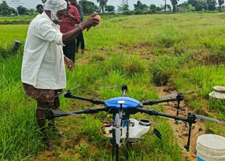
Our Work

Drones enhancing farming and civil projects.

A drone flying low over a lush green agricultural field at sunrise.
Agriculture

Precision crop monitoring with drone technology.

Close-up of a drone equipped with multispectral sensors scanning crops.
Drone surveying a construction site with buildings and machinery below.
Civil Use

Supporting infrastructure projects with aerial insights.
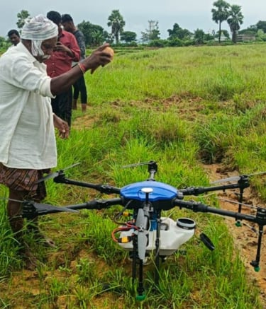
Gallery

A drone flying low over a lush green agricultural field capturing crop health data.
Close-up of a drone equipped with advanced sensors preparing for a civil infrastructure inspection.
Aerial shot of farmland with drones in operation, showcasing precision agriculture in action.
Engineers working on drone technology in a research lab filled with circuit boards and prototypes.
Sunset view of multiple drones flying in formation over open fields, symbolizing advanced drone research.

Snapshots of our drone services and research in action

Feedback

What our clients say about our drone services

Langlenleisana’s drone support transformed our farm’s crop monitoring, saving us time and boosting yields.

Mark Lee
A smiling farmer holding a tablet with drone footage of his fields in the background.

Iowa

Their drone research is impressive; it helped our construction project stay on schedule with precise aerial surveys.

An engineer reviewing drone-captured images of a construction site on a laptop outdoors.
Ana Ruiz

Texas

★★★★★
★★★★★
gray computer monitor

Contact Us

Reach out for drone services or research inquiries.